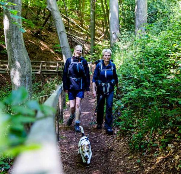
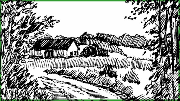
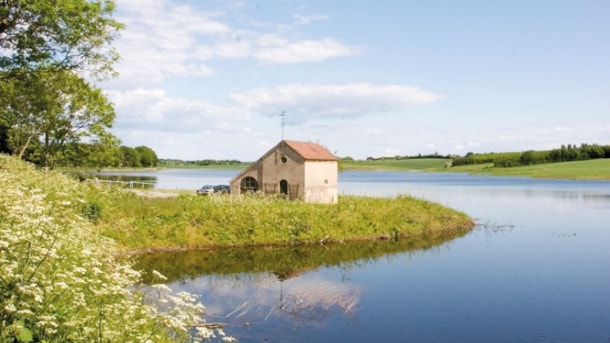
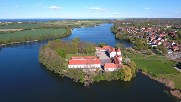
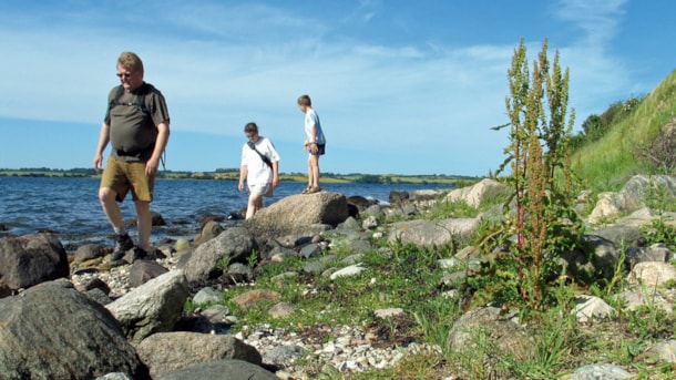
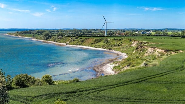
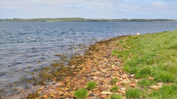
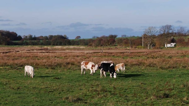
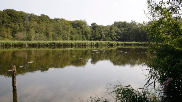
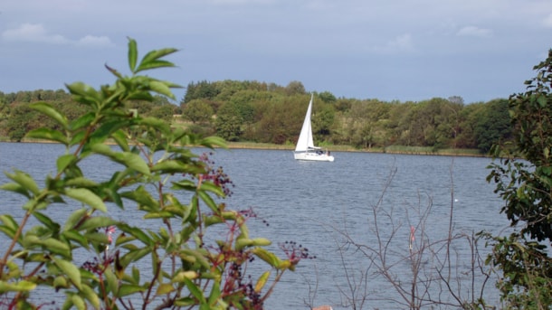
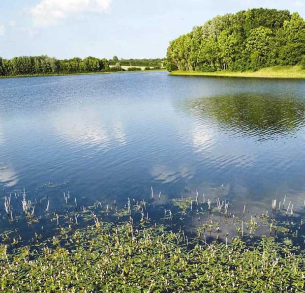
Vandring mellem marker med mælkebøtter på Gendarmstien

Hiking trails in Sønderborg

Photo: Sarahinthegreen

The Sønderborg area offers many shorter and medium-length hiking trails, all of which are signposted. If you're up for longer hikes over several days, we have the Alsstien and Denmark's first European Leading Quality Trail - Gendarmstien.

Short routes of 2 - 5 km

The very short stretches of 2-2.5 km can be found under the "Sporet ved" routes, both of which have a yellow and a red route. If you're interested in studying the architectural style in the city of Sønderborg, take a closer look at the three lower routes.

List
Map
The trail at Fiskbæk
Photo: Tegning: Michael Petersen

The trail at Fiskbæk

Starting from the agricultural college, Gråsten Landbrugsskole, you actually have 2 tracks to choose from.

Info
The trail at Tandslet
Photo: VisitSønderborg

The trail at Tandslet

The trail leads you through the forest Tandsholm Skov along paths, past hedgerows and woods.

Info
The Brickwork Path
Photo: VisitSønderborg

The Brickwork Path

The tour is relatively short and along the way there are markings for former brickworks.

Info
Hjertestien - the Heart Path
Photo: VisitSønderborg

Hjertestien - the Heart Path

The route is marked by signs with hearts, which leads you on a 5 kilometre long tour through the city of Sønderborg.

Info
Mjels Sø - a walking tour
Photo: Sønderborg Kommune

Mjels Sø - a walking tour

The hike back and forth along the lake, Mjels Sø takes you 4.5 km along a light and level terrain.

Info
The Nybøl Path
Photo: Naturstyrelsen Gråsten

The Nybøl Path

The 4.6 kilometre route takes you along the water, through the forest, Nøffelskoven and past wooden animal figures.

Info

Byvandring i Sønderborg - set med arkitektens briller

Er du til arkitekturhistorisk byvandring, så er denne tur lige noget for dig.

Info

Sønderborg - Denmark´s Art Nouveau City

Go on a self-guided walking tour, to the beautiful houses in the style Art Nouveau!

Info
On the trail of The Oldest Sønderborg
Photo: Kim Toft Jørgensen

On the trail of The Oldest Sønderborg

Go on a self-guided tour and see buildings and sites of the Middle Ages and Renaissance in Sønderborg

Info

Medium-length routes of 5.5 - 9 km

The lakes on Nordals offer 5 routes from 1 to 7.5 km, which can be combined into a longer route. The Kegnæsstien consists of 3 routes of 6, 7, and 10 km, which can be combined.

List
Map
The lakes on North Als
Photo: Kim Toft Jørgensen

The lakes on North Als

Four walking tours on North Als, who combined will lead you through a part of Naturpark Nordals.

Info
The Stevning Nor Path
Photo: Steen Rabjerg

The Stevning Nor Path

Lovely, scenic hike around Stevning Næs with an alternative route at high water level.

Info
The Sundeved Trail

The Sundeved Trail

The Sundeved Trail of 5.8 km connect the path Alssundstien with the municipality border to Aabenraa Municipality.

Info
The Kegnæs Path
Photo: Kim Toft Jørgensen

The Kegnæs Path

The storm surge on 20 October 2023, has caused some damage to the path, and parts of it are closed due to the ongoing risk of landslides - see map!

Info
Nybøl Cove Trail
Photo: Sønderborg Kommune

Nybøl Cove Trail

A 6.5 km walk along Nybøl Nor, brickworks and forest.

Info
The Augustenborg Path
Photo: Conni Ernst

The Augustenborg Path

On the tour, you will pass the bird reserve at Lillehav and Mjang Dam, so bring the bird book and binoculars.

Info
Nydamstien
Photo: Erik Christensen - Wikimedia commons

Nydamstien

On the Nydam Trail, you don't just experience beautiful nature, here you also encounter both ancient and wartime history.

Info
Gråstenstien (Path)
Photo: VisitSønderborg

Gråstenstien (Path)

Marked walking route of approx. 9 km, leading you through the city of Gråsten, long side the water and through a part of the forest with sculptures of animals carved in wood.

Info

Hiking routes of 10 - 17 km

The Kegnæsstien consists of 3 routes of 6, 7, and 10 km, which can be combined. The lakes on Nordals offer 5 routes from 1 to 7.5 km, which can be combined into a longer route.

List
Map
The lakes on North Als
Photo: Kim Toft Jørgensen

The lakes on North Als

Four walking tours on North Als, who combined will lead you through a part of Naturpark Nordals.

Info
The Kegnæs Path
Photo: Kim Toft Jørgensen

The Kegnæs Path

The storm surge on 20 October 2023, has caused some damage to the path, and parts of it are closed due to the ongoing risk of landslides - see map!

Info
Alssundstien
Photo: VisitSønderborg

Alssundstien

The Alssund Path of 17 km, begins at Alsion in Sønderborg and leads you to Ballebro.

Info

Share your moments with us: